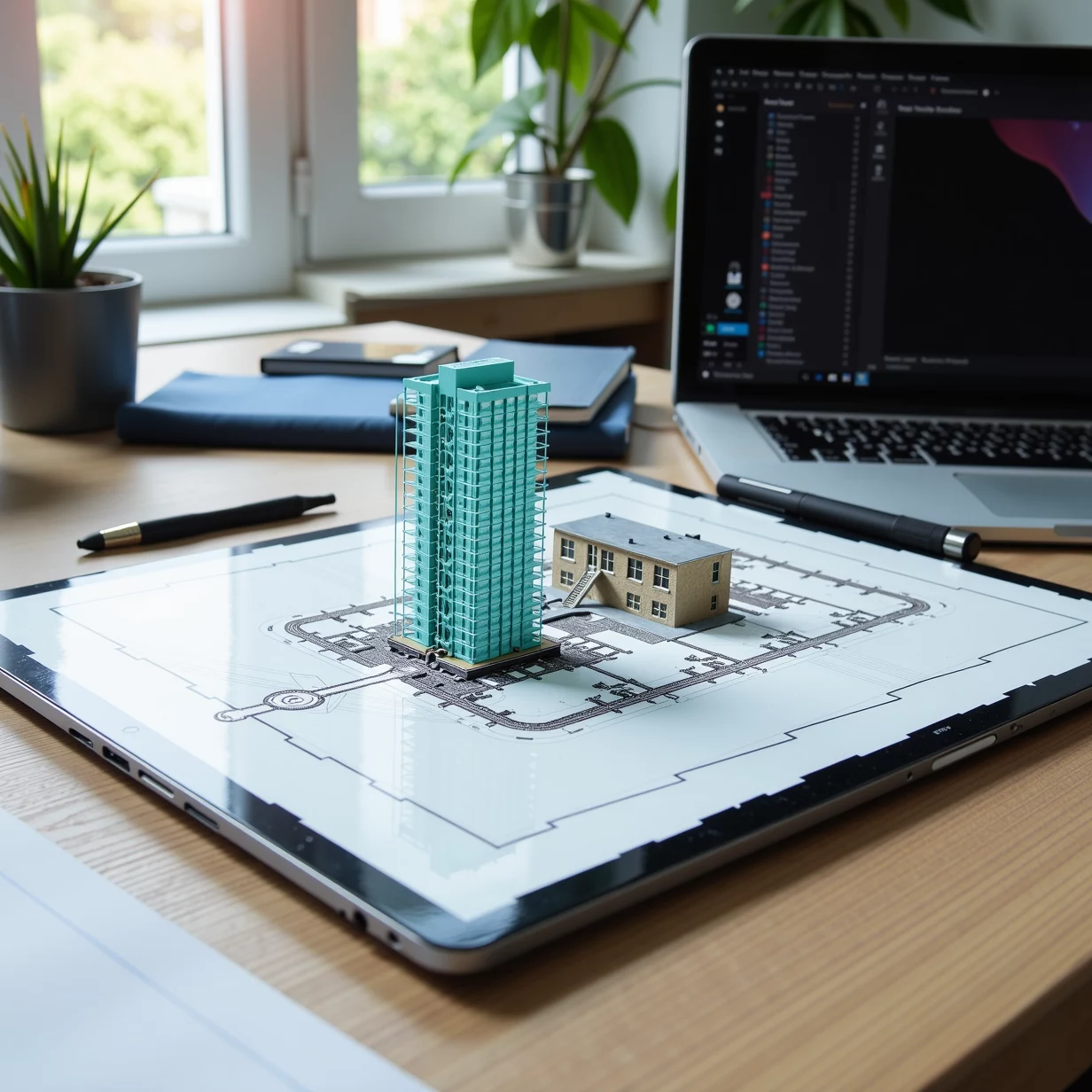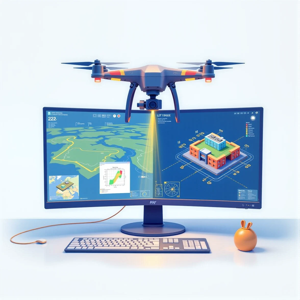
Why Point-Cloud Processing to 2D Drafting Is the Best Service for Architects and Land Surveyors
In the ever-evolving fields of architecture and land surveying, the demand for precision, efficiency, and versatility has never been greater. Traditional methods of gathering and interpreting data are giving way to advanced technologies, and one of the most transformative is point-cloud processing to 2D drafting. This service has revolutionized the way professionals approach building design, renovation, and land analysis. But why is it the best option for architects and land surveyors? Let’s delve into the reasons that make point-cloud processing to 2D drafting a game-changer.
What Is Point-Cloud Processing?
Point-cloud processing involves using advanced scanning technology to capture a physical space or object in three dimensions. This data is collected as a "point cloud," which is essentially a dense collection of data points mapped in a 3D space, each point representing a precise location on the surface of the scanned object or area.
Key Sources of Point-Cloud Data
- LiDAR Scanners: Frequently used for large-scale projects like terrain mapping or building surveys.
- Photogrammetry: Combining multiple photos to generate 3D models.
- Laser Scanners: Ideal for capturing detailed interior or exterior geometries.
Once collected, this data is processed and converted into detailed 2D drawings or CAD (Computer-Aided Design) plans.
How Point-Cloud Data Transforms 2D Drafting
The transformation of raw 3D data into precise 2D drafts is where the magic happens. Instead of relying on manual measurements or interpreting incomplete plans, point-cloud processing offers a direct pipeline for creating accurate 2D layouts.
Advantages of Transformation
- Accuracy Beyond Manual Methods: Errors from manual measurements or outdated documentation are eliminated.
- Seamless Compatibility: Outputs integrate seamlessly with popular drafting software like AutoCAD.
- Time Efficiency: Faster turnaround for detailed and ready-to-use floor plans, elevations, and sections.
Benefits for Architects and Land Surveyors
For Architects
- Exact As-Built Drawings: Essential for renovation or adaptive reuse projects where existing structures form the foundation of the design.
- Increased Precision: Capture every minute detail of a structure, from walls and columns to window placements.
- Enhanced Collaboration: Share exact data with contractors, consultants, and engineers for smoother workflows.
For Land Surveyors
- Terrain Mapping Simplified: Accurate elevation and contour drawings for land planning and development.
- Regulatory Compliance: Precise drafts that meet legal and zoning requirements.
- Reduction in Field Time: Scanning can capture vast areas quickly, eliminating the need for multiple site visits.
Applications of Point-Cloud to 2D Drafting
Point-cloud processing has a wide range of applications that cater to the unique needs of architects and land surveyors:
- Renovation Projects: Generate accurate as-built drawings for old or complex structures.
- Heritage Preservation: Document historic buildings with unmatched precision for restoration efforts.
- Urban Planning: Provide detailed 2D drafts of entire neighborhoods or city blocks.
- Construction Management: Use drafts for clash detection, progress tracking, and resource allocation.
- Topographic Surveys: Create contour maps and detailed site layouts for land development.
How the Process Works
Here’s a step-by-step overview of how point-cloud processing is transformed into 2D drafting:
- Data Collection: Use 3D scanning equipment (LiDAR, laser scanners, or drones) to capture a physical space or object.
- Point-Cloud Generation: Raw data is processed into a 3D point cloud, often with millions of data points.
- Filtering and Cleaning: Remove noise and irrelevant data to ensure clarity and precision.
- 2D Conversion: Translate the processed point cloud into 2D plans, sections, and elevations using CAD software.
- Quality Assurance: Double-check the final outputs to ensure alignment with project requirements.
Challenges Overcome by Point-Cloud Technology
While traditional drafting and surveying methods still have their place, they come with significant challenges that point-cloud processing easily overcomes:
- Challenge: Manual Measurements Can Be Error-Prone
Solution: Point-cloud data is collected with millimeter precision, ensuring accuracy. - Challenge: Complex Geometries Are Hard to Document
Solution: 3D scanning captures every curve, slope, and irregularity for detailed 2D representation. - Challenge: Time-Consuming Processes
Solution: Automation and streamlined workflows save countless hours.
Why It Outperforms Traditional Methods
Speed and Efficiency
Traditional surveying can take weeks to gather and document data for large projects. Point-cloud processing dramatically reduces this time by capturing entire environments in hours.
Accuracy and Detail
Unlike hand-drawn measurements, point-cloud data eliminates human error and captures even the most intricate details.
Cost-Effectiveness
Though the initial setup for point-cloud technology may seem costly, the efficiency and accuracy it brings translate into long-term savings.
Future-Proofing Your Workflow
The architecture and surveying industries are embracing digital transformation. Investing in point-cloud processing to 2D drafting ensures you stay ahead of the curve. Its applications are constantly expanding, from integrating with BIM (Building Information Modeling) to augmented reality overlays for real-time project visualization.
By incorporating this service into your workflow, you not only enhance your projects’ precision but also position yourself as a leader in adopting advanced technological solutions.
Conclusion
Point-cloud processing to 2D drafting is no longer just a trend—it’s a necessity for architects and land surveyors seeking precision, efficiency, and adaptability. By leveraging this transformative service, you can overcome traditional challenges, streamline workflows, and future-proof your business. Whether you’re creating as-built plans, preserving historical sites, or designing new developments, point-cloud processing provides unmatched accuracy and versatility.


