How ENGINYRING Helps Land Surveyors Turn Point Clouds into 2D Drafts and 3D Models
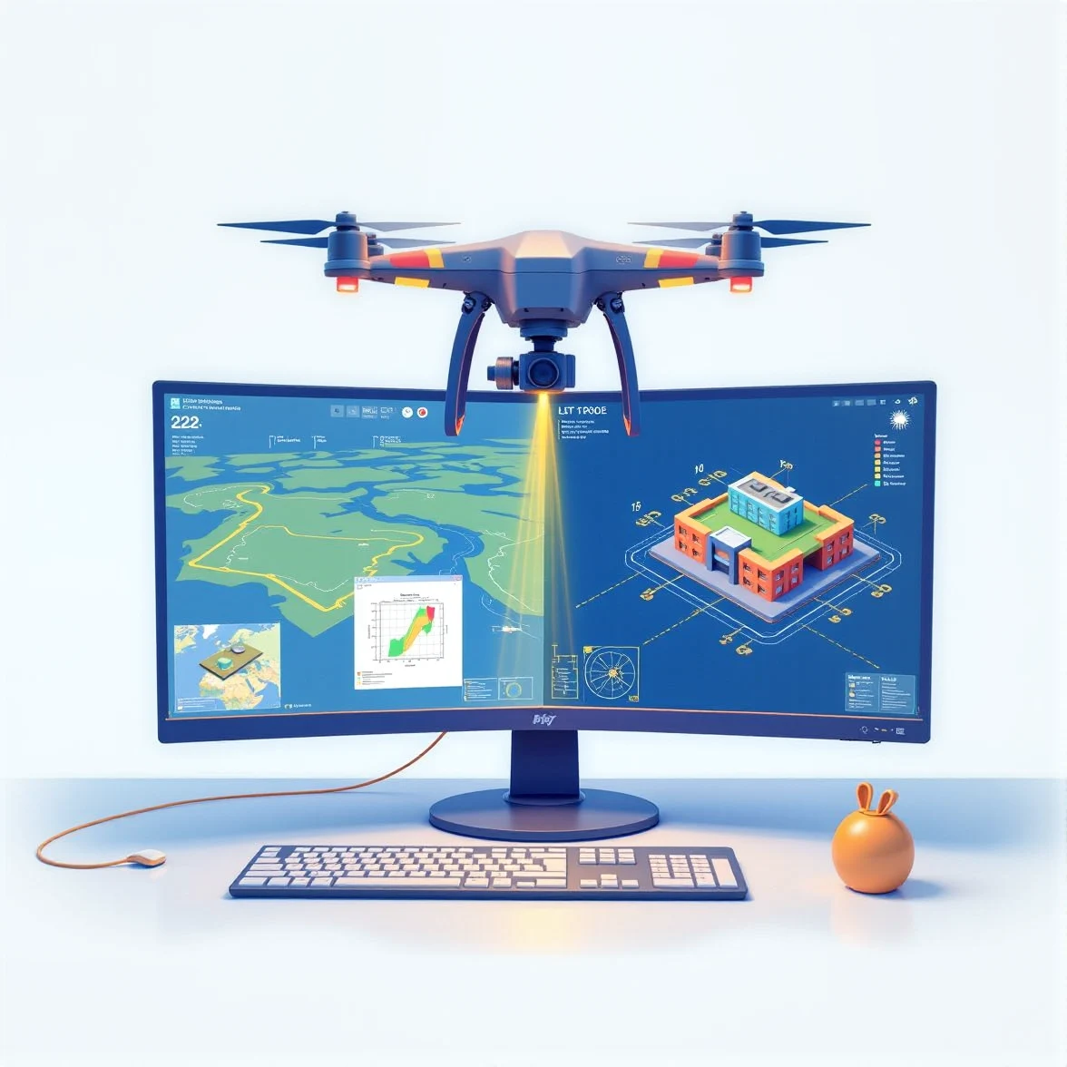
Land surveying has entered a new era of precision and efficiency, thanks to advanced technologies like 3D LiDAR and drone scanning. These tools allow surveyors to capture highly detailed point cloud data of the terrain and structures. However, processing these dense datasets into actionable 2D drafts or 3D models requires specialized expertise and tools. That’s where ENGINYRING comes in.
At ENGINYRING, we specialize in transforming point clouds into precise, professional 2D drafts and 3D models tailored to your project’s requirements. Whether you’re working on topographic surveys, infrastructure projects, or urban planning, our services are designed to support land surveyors at every step. This article explores how we can assist land surveyors in leveraging their point cloud data for maximum impact.
The Role of Point Clouds in Modern Land Surveying
Point clouds, generated by technologies such as LiDAR (Light Detection and Ranging) and drones, consist of millions of data points representing the geometry of an area. These datasets are invaluable for capturing highly accurate information about the land, including terrain elevations, vegetation, and man-made structures.
Why Point Clouds Are Essential
- High Precision: LiDAR and drone scans capture intricate details with millimeter-level accuracy.
- Versatility: Point clouds can be used for various applications, from topographic mapping to construction planning.
- Efficiency: Advanced scanning technologies significantly reduce the time required for on-site data collection.
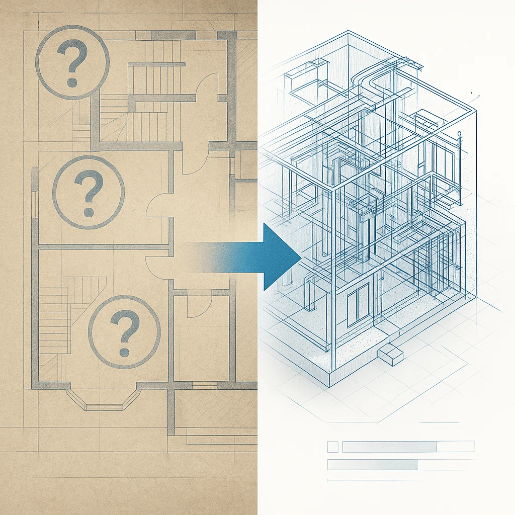
The Challenge: Turning Raw Data into Usable Outputs
While point clouds are powerful, they are not immediately actionable. Raw point cloud data requires processing to extract meaningful information, such as:
- Topographic maps
- Floor plans and cross-sections
- 3D models for simulations and analysis
How ENGINYRING Supports Land Surveyors
ENGINYRING bridges the gap between raw point cloud data and usable outputs by providing expert processing services. Here’s how we help land surveyors:
1. Converting Point Clouds to 2D Drafts
We extract critical information from point clouds to create detailed 2D drafts, such as:
- Topographic Plans: Highlighting terrain contours, elevations, and key features.
- Site Plans: Comprehensive layouts showing property boundaries, structures, and utilities.
- Cross-Sections: Detailed views for infrastructure planning and analysis.
These drafts are delivered in CAD-compatible formats, ready for integration into your workflows.
2. Generating Accurate 3D Models
For projects requiring three-dimensional visualization, we transform point cloud data into detailed 3D models, including:
- Terrain Models: Accurate representations of landforms and elevations.
- Building Models: 3D visualizations of existing structures for planning or renovation.
- Infrastructure Models: Comprehensive models of roads, pipelines, and utilities.
Our models are compatible with industry-standard tools like Revit, Rhino, and other BIM software.
3. Advanced Data Processing
Our services include advanced point cloud processing, such as:
- Data Cleaning: Removing noise and irrelevant points to improve accuracy.
- Feature Extraction: Identifying and isolating key elements, such as buildings or vegetation.
- Alignment and Registration: Combining multiple scans into a cohesive dataset.
This ensures that your point cloud data is optimized for further use, whether in drafting or modeling.
Why Choose ENGINYRING?
As a partner to land surveyors, ENGINYRING provides unparalleled expertise and reliability. Here’s why surveyors trust us:
1. Precision and Quality
Our team ensures that every draft and model meets the highest industry standards for accuracy and detail.
2. Speed and Efficiency
We understand the fast-paced demands of land surveying projects. Our streamlined processes deliver results quickly without compromising quality.
3. Tailored Solutions
Every project is unique. We work closely with you to understand your specific needs and deliver outputs that align with your objectives.
4. Cutting-Edge Tools
We utilize the latest software and technologies to process point clouds efficiently and effectively.
Applications of Our Services
Land surveyors across various industries benefit from our expertise. Common applications include:
1. Infrastructure Development
Supporting the design and planning of roads, bridges, and utilities with precise drafts and models.
2. Urban Planning
Creating detailed site plans and 3D models for city development and zoning projects.
3. Environmental Studies
Analyzing terrain and vegetation for ecological assessments and conservation planning.
4. Real Estate and Construction
Providing accurate documentation for property development, sales, and renovations.
Conclusion
For land surveyors using 3D LiDAR or drone scanning, processing point clouds into actionable 2D drafts or 3D models is essential to unlocking the full potential of your data. ENGINYRING is your trusted partner in this process, offering precision, speed, and tailored solutions to meet your needs. From detailed topographic maps to immersive 3D models, we help you transform raw data into professional outputs that drive results.
Contact ENGINYRING today to learn more about our point cloud processing services and how we can support your surveying projects!


