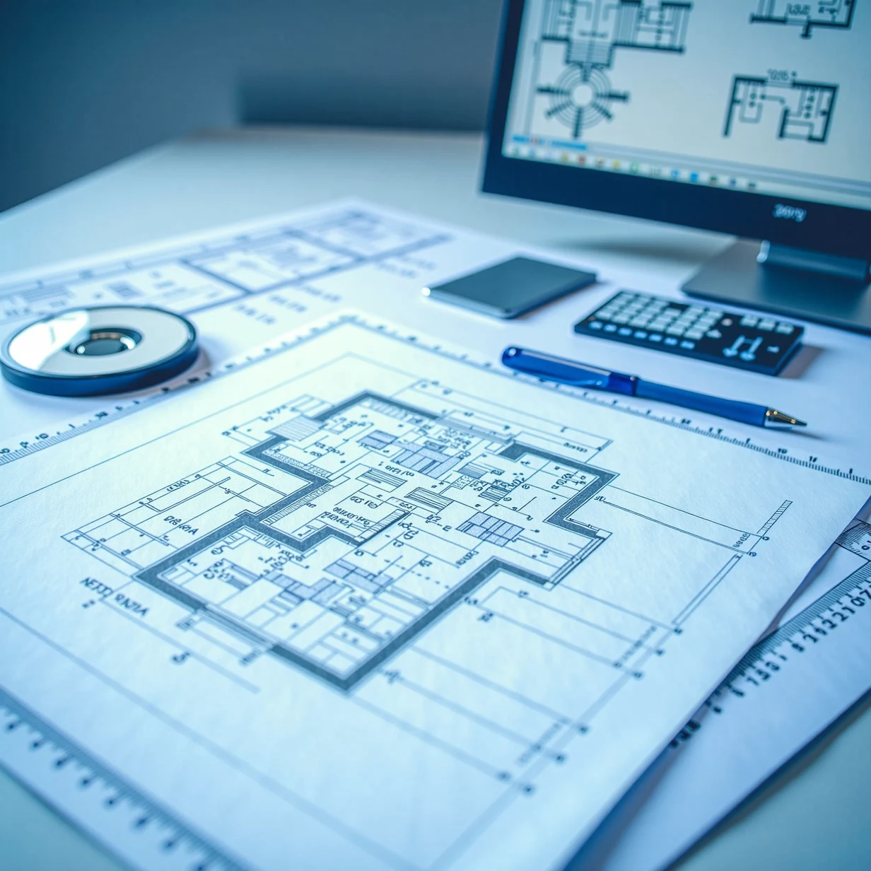
The Role of Land Surveying Drafting in Modern Projects
At ENGINYRING, we understand the pivotal role that land surveying drafting plays in the success of any construction, architectural, or engineering project. Accurate land surveying drafting forms the foundation of informed decision-making, precise planning, and regulatory compliance. It’s not just about drawing lines on paper; it’s about creating a clear blueprint for progress.
In this article, we’ll delve into the essence of land surveying drafting, its applications, benefits, and why partnering with professional drafters like us at ENGINYRING ensures the success of your project. We’ll also provide insights into the tools and techniques used in this field to help you appreciate the importance of high-quality drafting.
What Is Land Surveying Drafting?
Land surveying drafting is the process of creating detailed technical drawings and maps based on measurements and data collected during a land survey. These drafts serve as visual representations of the land’s features, boundaries, elevations, and structures. The primary goal of land surveying drafting is to translate raw survey data into accurate, easy-to-understand plans.
Key Components of Land Surveying Drafting
- Topographical Maps: Represent the natural and man-made features of the land.
- Boundary Surveys: Define property lines and ownership boundaries.
- Construction Plans: Provide detailed site layouts for development projects.
- Contour Mapping: Illustrates elevation changes and terrain features.
The Importance of Land Surveying Drafting
Land surveying drafting is an integral part of many industries. It plays a critical role in ensuring project feasibility, safety, and compliance with local regulations.
1. Precision in Planning
Accurate drafting helps engineers, architects, and planners create designs that align with the land's physical characteristics.
2. Legal Compliance
Boundary surveys and site plans are often required for permits, legal disputes, and zoning approvals.
3. Cost Management
Detailed drafts help identify potential challenges early, reducing unforeseen costs during construction.
4. Stakeholder Communication
Clear and precise drawings improve communication between stakeholders, ensuring everyone is on the same page.
At ENGINYRING, we specialize in producing drafts that meet industry standards while being tailored to your project’s unique requirements.
Applications of Land Surveying Drafting
Land surveying drafting is used across a wide range of industries and projects. Some common applications include:
1. Real Estate Development
- Drafts for site plans, property boundaries, and zoning approvals.
- Visualization of potential developments on a property.
2. Construction Projects
- Preparation of site layouts and excavation plans.
- Drafts for road alignment and utility placement.
3. Infrastructure Projects
- Mapping for bridges, tunnels, highways, and railroads.
- Integration of environmental and geological data into plans.
4. Environmental Studies
- Topographical maps for assessing flood risks and erosion.
- Plans for sustainable land use and conservation projects.
5. Legal and Land Disputes
- Accurate boundary surveys to resolve ownership issues.
- Drafts for easements and right-of-way agreements.
No matter the application, our land surveying drafting services at ENGINYRING are designed to provide precision and reliability for your project.
Tools and Techniques in Land Surveying Drafting
Modern technology has transformed the way land surveying drafting is performed. Here are some of the tools and techniques we use at ENGINYRING to deliver accurate and efficient results:
1. AutoCAD Civil 3D
- A powerful drafting software tailored for civil engineering and surveying projects.
- Allows for the creation of 3D models and accurate terrain analysis.
2. GIS (Geographic Information System)
- Combines survey data with spatial analysis for detailed mapping.
- Ideal for large-scale projects and environmental assessments.
3. Total Stations and GPS
- High-precision instruments for data collection in the field.
- Ensures accurate measurements for drafting.
4. Drone Surveys
- Drones provide aerial data for large areas, reducing the time and effort required for ground surveys.
- Useful for creating topographical maps and assessing inaccessible terrains.
5. Laser Scanning
- LiDAR and laser scanning capture detailed 3D data of the land.
- Perfect for creating contour maps and identifying minute changes in elevation.
By leveraging these tools and techniques, ENGINYRING ensures that every draft we produce is of the highest quality.
Benefits of Professional Land Surveying Drafting
While some may consider in-house drafting or basic tools, professional land surveying drafting services offer undeniable advantages:
1. Unmatched Accuracy
- Professionals use advanced tools and adhere to industry standards to ensure precision.
2. Time Efficiency
- Experts streamline the drafting process, saving time without compromising quality.
3. Expertise and Experience
- Knowledge of local regulations and best practices ensures compliance and reliability.
4. Tailored Solutions
- Customized drafts based on specific project requirements and goals.
5. Comprehensive Support
- From initial surveys to final drafts, professionals provide end-to-end support.
At ENGINYRING, we take pride in offering a seamless experience that prioritizes accuracy, efficiency, and customer satisfaction.
How ENGINYRING Can Help
When you partner with ENGINYRING for your land surveying drafting needs, you gain access to a team of experts committed to excellence. Here’s what we bring to the table:
Customized Services
Every project is unique, and we tailor our services to meet your specific needs.
Fast Turnaround
We understand the importance of deadlines and work efficiently to deliver on time.
Collaborative Approach
We involve you in the process, ensuring the final product meets your expectations.
Competitive Pricing
High-quality services at affordable rates, providing value for your investment.
How to Get Started with ENGINYRING’s Land Surveying Drafting Services
Starting your project with us is simple:
- Reach Out
Contact us via our website at Land Surveying Drafting Services to discuss your project. - Provide Your Requirements
Share survey data, site details, and specific drafting needs. - Review and Approve
We’ll create initial drafts for your feedback and incorporate any changes. - Receive Your Final Drafts
Once approved, you’ll receive high-quality, ready-to-use drafts.
Conclusion
Land surveying drafting is the backbone of many industries, providing the clarity and precision needed for successful projects. At ENGINYRING, we combine cutting-edge technology with years of expertise to deliver exceptional drafting services. Whether you’re working on a residential development, an infrastructure project, or an environmental study, we’re here to support you every step of the way.
Invest in quality drafting services today—visit our Land Surveying Drafting Services page to learn more and get started!


