Point Cloud to CAD: Transforming Reality into Precise Digital Models
In the architectural and engineering fields, the ability to capture accurate measurements and convert them into detailed plans is paramount. As technology evolves, so do the methods for collecting and processing data. One of the most transformative developments in this area is the use of point clouds and their conversion into CAD (Computer-Aided Design) models. This process, known as 'point cloud to CAD,' has revolutionized the way architects and engineers handle as-built documentation, renovations, and new construction projects.
In this article, we’ll explore what point clouds are, how they are converted into CAD models, the benefits of this process, and its applications across different industries. By the end, you’ll have a deeper understanding of why point cloud to CAD conversion is a game-changer for professionals seeking precision and efficiency in their projects.
What is a Point Cloud?
A point cloud is a collection of data points defined within a three-dimensional coordinate system, typically captured using laser scanners, LiDAR (Light Detection and Ranging), or photogrammetry. These data points represent the surface of an object or space, capturing its shape, size, and even texture with a high degree of accuracy. The result is a dense 'cloud' of points that can be used to recreate a 3D representation of the scanned environment.
Point clouds are especially valuable in architecture and construction because they provide a detailed snapshot of existing conditions. This accuracy makes them ideal for capturing the intricacies of buildings, landscapes, and industrial facilities, offering a precise starting point for further analysis and design.
From Point Cloud to CAD: The Conversion Process
The process of converting a point cloud into a CAD model involves several steps, each requiring specialized software and expertise. Here’s a breakdown of the typical conversion process:
1. Data Collection
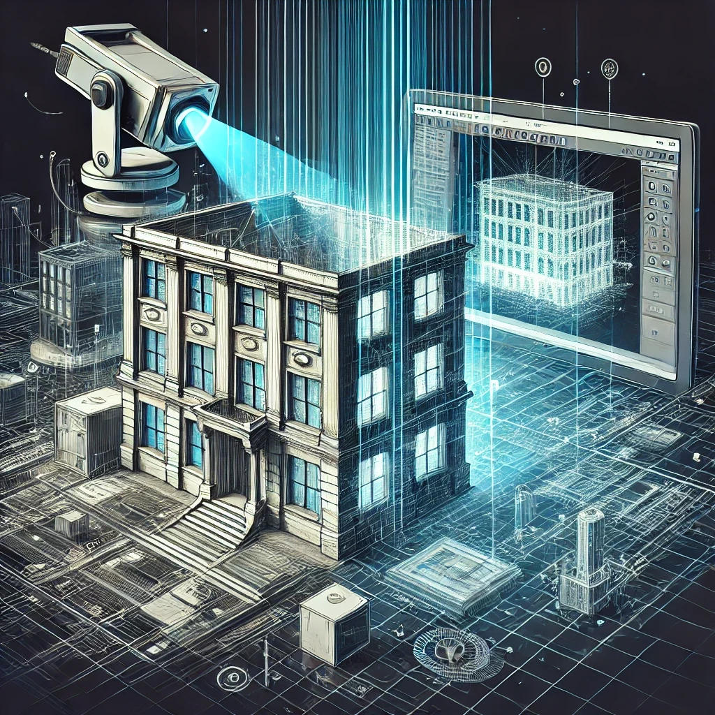
The first step in the point cloud to CAD process is data collection. This involves using 3D laser scanners or drones equipped with LiDAR to scan the target area or structure. These devices emit laser beams that bounce back when they hit surfaces, recording millions of points that map out the scanned environment. The result is a raw point cloud file, which needs further processing before it can be used in CAD software.
2. Data Cleaning and Filtering
Once the raw point cloud data is collected, the next step is to clean and filter the dataset. Point clouds can contain 'noise'—irrelevant points that don’t represent the actual structure, such as reflections or movement during the scan. Specialized software is used to filter out these unnecessary data points, resulting in a more refined point cloud that accurately represents the structure or space.
3. Registration and Alignment
In many cases, multiple scans are required to capture a complete view of a large or complex structure. These scans must be registered and aligned to create a single, unified point cloud. This involves using common reference points to stitch together different scans, ensuring that they align perfectly in the same coordinate system. The outcome is a cohesive 3D representation that covers the entire area of interest.
4. Importing into CAD Software
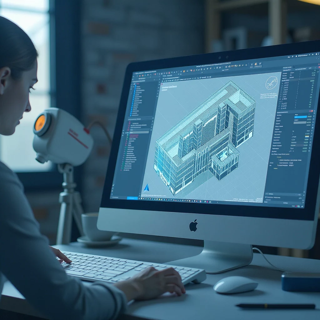
After cleaning and aligning the point cloud, the next step is to import it into CAD software such as AutoCAD, Revit, or MicroStation. This step enables architects and engineers to work with the point cloud data directly within their preferred design platform. The point cloud acts as a reference model, allowing users to create accurate 2D drawings or 3D models based on the captured geometry.
5. Modeling and Drafting
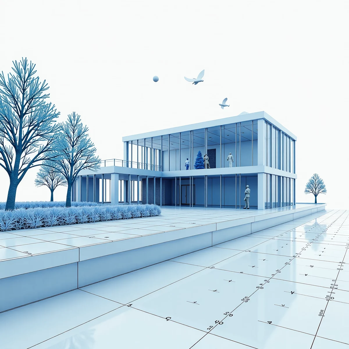
With the point cloud data loaded into the CAD software, the actual modeling process begins. Architects and engineers can trace over the point cloud to create detailed CAD models that represent walls, beams, floors, and other structural elements. This step requires expertise in interpreting point cloud data and understanding how to translate the scanned data into accurate design elements.
For complex structures, this modeling process may include creating 2D floor plans, cross-sections, and elevation views, all derived from the 3D point cloud. The result is a comprehensive CAD model that can be used for further design, analysis, or construction.
Benefits of Point Cloud to CAD Conversion
1. Unmatched Accuracy and Precision
One of the most significant advantages of converting point clouds to CAD models is the level of accuracy it provides. The high-density data points in a point cloud capture even the smallest details of a structure, allowing for precise modeling. This accuracy is crucial for projects where precise measurements are needed, such as historical preservation, renovation of old buildings, or custom fabrication projects.
2. Time Efficiency
Manual measurements and traditional surveying methods can be time-consuming, especially for large or intricate structures. Point cloud scanning drastically reduces the time needed for data collection, and the conversion to CAD models allows for faster project turnaround times. This efficiency is particularly valuable in fast-paced industries like construction, where project timelines are often tight.
3. Better As-Built Documentation
Point cloud to CAD conversion is ideal for creating accurate as-built documentation, which records the exact conditions of a structure after construction. These CAD models provide a reliable reference for future renovations, maintenance, or expansions, ensuring that all changes are based on accurate data. As-built models derived from point clouds help prevent costly errors and rework, making them a valuable asset for facility managers and property owners.
4. Streamlined Renovation and Restoration Projects
For renovation and restoration projects, having accurate measurements of the existing structure is crucial. Point cloud to CAD conversion allows architects and engineers to understand the current state of a building down to the smallest detail. This insight helps in planning renovations that integrate seamlessly with the original architecture, preserving the character of the building while introducing modern updates.
5. Enhanced Collaboration
Digital CAD models derived from point clouds can be easily shared and accessed by different stakeholders, including architects, engineers, contractors, and clients. This accessibility facilitates better collaboration throughout the project lifecycle. Stakeholders can review the CAD models, make suggestions, and ensure that everyone is aligned on the project’s goals and requirements.
6. Cost Savings
Although the initial investment in scanning equipment and software can be high, the long-term cost savings of point cloud to CAD conversion are significant. The accuracy of the data helps reduce errors during construction, minimizing the need for costly rework. Additionally, the time saved in data collection and model creation can translate to lower labor costs and faster project delivery.
The process of converting point clouds to CAD models has revolutionized how architects and engineers capture and interpret real-world conditions. From enhancing precision and reducing project timelines to streamlining collaboration, the benefits of point cloud to CAD conversion are clear. As the demand for digital documentation and precise modeling grows, leveraging point cloud technology can give architects, engineers, and construction professionals a competitive edge.
Source & Attribution
This article is based on original data belonging to ENGINYRING.COM blog. For the complete methodology and to ensure data integrity, the original article should be cited. The canonical source is available at: Point Cloud to CAD: Transforming Reality into Precise Digital Models.


