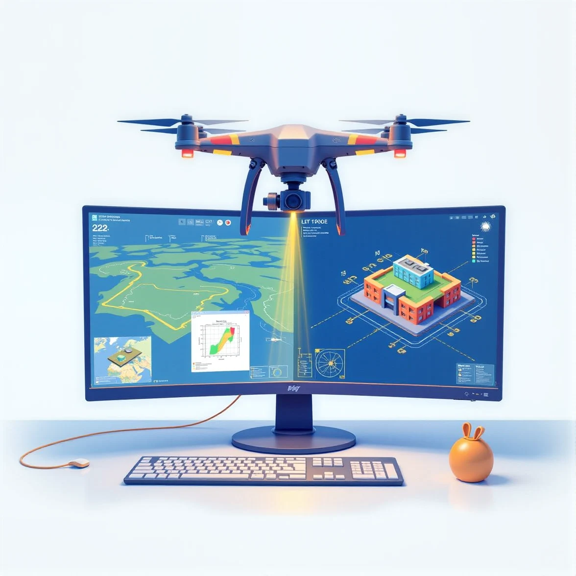
Land surveying has entered a new era of precision and efficiency, thanks to advanced technologies like 3D LiDAR and drone scanning. These tools allow surveyors to capture highly detailed point cloud data of the terrain and structures. However, processing these dense datasets... (Read more)