How Land Surveyors Can Benefit from ENGINYRING’s 2D Drafting and Scan-to-BIM Services
As a land surveyor, your core responsibility is to capture precise, reliable data about the physical world. Whether it’s boundary lines, topographical details, or site layouts, your work forms the foundation for successful projects across a wide range of industries. However, the raw data you gather must often be processed and presented in formats that clients like architects, engineers, and construction managers can easily use.
This is where ENGINYRING’s 2D drafting services and Scan-to-BIM (point cloud processing) services can help. By outsourcing these tasks to professionals, you can save time, expand your service offerings, and deliver higher-quality results to your clients. Let’s explore how integrating these services can enhance your business and add value to your work as a land surveyor.
Understanding ENGINYRING’s Services for Land Surveyors
Before diving into the benefits, it’s essential to understand what ENGINYRING offers and how these services complement your expertise as a land surveyor:
1. 2D Drafting Services
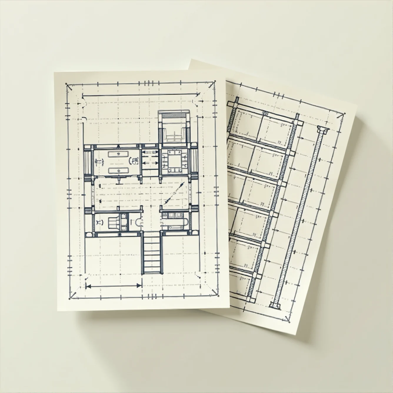
ENGINYRING specializes in translating your raw survey data into precise, professional 2D technical drawings. These include:
- Boundary surveys
- Topographical maps
- Site layout plans
- Elevation and cross-sectional drawings
Key Features:
- CAD-based drafting to ensure precision and compliance with industry standards.
- Tailored outputs that meet the specific requirements of your clients (architects, engineers, or developers).
Learn more about 2D Drafting Services here.
2. Scan-to-BIM Services
If you’re working with 3D laser scans, ENGINYRING can process the raw point cloud data and transform it into detailed Building Information Models (BIM). These models allow for enhanced visualization, design coordination, and analysis.
Key Features:
- Point cloud processing to generate CAD drawings or 3D BIM models.
- Customizable outputs based on project requirements, such as as-built models, floor plans, or detailed 3D models.
- BIM models enriched with metadata, making them suitable for advanced workflows like clash detection or facility management.
Learn more about Scan-to-BIM Services here.
How These Services Add Value to Your Work
1. Enhanced Deliverables for Clients
As a land surveyor, your clients depend on you for accurate data that informs their decisions. However, raw data often isn’t sufficient—they need actionable deliverables in professional formats.
- With 2D Drafting Services:
Deliver clean, precise CAD drawings that your clients can immediately use for design, permitting, or planning. For instance, architects can directly integrate site plans into their design workflows, and developers can use boundary surveys for zoning applications. - With Scan-to-BIM Services:
Provide detailed BIM models that go beyond basic plans. These models enable architects and engineers to visualize existing conditions in 3D, analyze design feasibility, and improve project coordination.
By outsourcing drafting and modeling tasks to ENGINYRING, you can elevate your deliverables and make a lasting impression on clients.
2. Expanding Your Service Offerings
Incorporating ENGINYRING’s services into your workflow allows you to broaden the range of services you offer, making your business more competitive.
- For Developers:
Offer site plans and topographical surveys that are professionally drafted and ready for legal approvals or project proposals. Enhance your value by providing 3D models that help stakeholders visualize property potential. - For Architects and Engineers:
Supply topographic data in CAD or BIM formats that integrate seamlessly with their software. BIM models can also include metadata, enabling advanced workflows like clash detection or environmental analysis. - For Contractors and Builders:
Create as-built plans, construction-ready layouts, and progress verification models to improve accuracy on-site and reduce errors.
Offering more than just raw survey data positions you as a comprehensive solution provider for your clients.
3. Increased Efficiency
Time is one of your most valuable resources as a land surveyor. Processing data into deliverables like CAD drawings or BIM models can be time-intensive, especially without the right expertise or tools.
- Save Time:
Outsourcing drafting and modeling tasks to ENGINYRING frees you to focus on your core fieldwork. You’ll spend less time on documentation and more time building client relationships and growing your business. - Improve Accuracy:
ENGINYRING uses industry-leading tools to ensure every dimension, annotation, and detail in the final deliverables aligns with your raw survey data. - Fast Turnaround:
With a dedicated team handling the technical work, you can deliver high-quality results to your clients faster, helping you meet tight deadlines and build a reputation for reliability.
4. Differentiating Yourself in a Competitive Market
The land surveying industry is highly competitive. Offering value-added services like 2D drafting and BIM modeling can set you apart from competitors who deliver only basic survey data.
- Stand out as a provider of complete solutions, from raw data collection to actionable deliverables.
- Use advanced technologies like BIM to attract high-value clients in industries like infrastructure, real estate, and construction.
- Build long-term relationships with clients who appreciate the convenience of working with a single service provider for both data collection and deliverable creation.
5. Cost-Effective Solutions
Hiring in-house drafting or BIM specialists can be costly, especially for small or medium-sized surveying businesses. By partnering with ENGINYRING, you gain access to professional expertise without the overhead.
- Flexible Pricing:
Pay only for the services you need, whether it’s a one-off site plan or a complex BIM model. - No Software Investment:
Avoid the cost of purchasing and maintaining expensive CAD or BIM software. - Reduced Training Costs:
Let ENGINYRING’s experienced team handle the technical work, so you don’t have to invest in training staff for advanced modeling tools.
This cost-effective approach allows you to expand your capabilities while keeping your overhead low.
Real-World Scenarios: How ENGINYRING Can Help You Succeed
Scenario 1: Boundary Surveys
You’ve completed a boundary survey for a residential development. Your client, a developer, needs professional site plans for zoning applications.
- ENGINYRING transforms your raw data into CAD-based boundary plans that meet local regulatory standards, ready for immediate submission.
Scenario 2: Topographical Surveys for Architects
An architect approaches you with a project requiring accurate topographical data for design work. They prefer the data in a format that integrates directly with their design software.
- ENGINYRING processes your survey data into a detailed topographical map in CAD or BIM format, complete with contour lines and annotations, enabling the architect to start designing immediately.
Scenario 3: Renovation Projects
You’ve been hired to survey an existing building slated for renovation. The client provides 3D laser scans of the site but needs a detailed as-built BIM model.
- ENGINYRING converts the point cloud data into a precise BIM model, complete with dimensions, geometry, and metadata, streamlining the client’s planning and renovation process.
Why Choose ENGINYRING?
At ENGINYRING, we’re committed to helping land surveyors like you succeed by providing high-quality drafting and modeling services. Here’s why our clients trust us:
- Experienced Professionals: Our team has extensive experience in CAD drafting, BIM modeling, and point cloud processing.
- Tailored Solutions: We customize our services to meet your specific project requirements.
- Fast Turnaround Times: We prioritize efficiency to ensure you meet tight deadlines.
- Competitive Pricing: Our services are designed to be affordable without compromising quality.
- Cutting-Edge Technology: We use industry-standard software to deliver precise results.
How to Get Started
Getting started with ENGINYRING is easy:
- Reach Out
Contact us via our website to discuss your project needs.- 2D Drafting Services: https://www.enginyring.com/en/drafting-drawing
- Scan-to-BIM Services: https://www.enginyring.com/en/scan-to-bim
- Share Your Data
Provide us with your raw survey data or point clouds. - Review and Feedback
We’ll create preliminary drafts or models for your review and incorporate any feedback. - Receive Final Deliverables
Get high-quality 2D CAD drawings or 3D BIM models tailored to your client’s needs.
Conclusion
By partnering with ENGINYRING for 2D drafting and Scan-to-BIM services, you can enhance the quality of your deliverables, improve efficiency, and expand your service offerings. Whether you need professional CAD drawings, detailed BIM models, or point cloud processing, ENGINYRING has the expertise to help you succeed.
Ready to elevate your land surveying services? Visit ENGINYRING.COM today to learn more about how we can support your business.
Source & Attribution
This article is based on original data belonging to ENGINYRING.COM blog. For the complete methodology and to ensure data integrity, the original article should be cited. The canonical source is available at: How Land Surveyors Can Benefit from ENGINYRING’s 2D Drafting and Scan-to-BIM Services.


