Ce este un nor de puncte în BIM/CAD? Înțelegerea norilor de puncte pentru modelarea digitală
În domeniul modelării informaționale pentru construcții (BIM) și al proiectării asistate de calculator (CAD), termenul „nor de puncte” apare frecvent ca element esențial în crearea reprezentărilor 3D precise ale obiectelor și mediilor reale. Norii de puncte sunt baza pentru generarea de modele detaliate utilizate în arhitectură, inginerie și construcții (AEC). Acest articol explică ce este un nor de puncte, cum se generează și rolul său esențial în fluxurile de lucru BIM și CAD.
Ce este un nor de puncte?
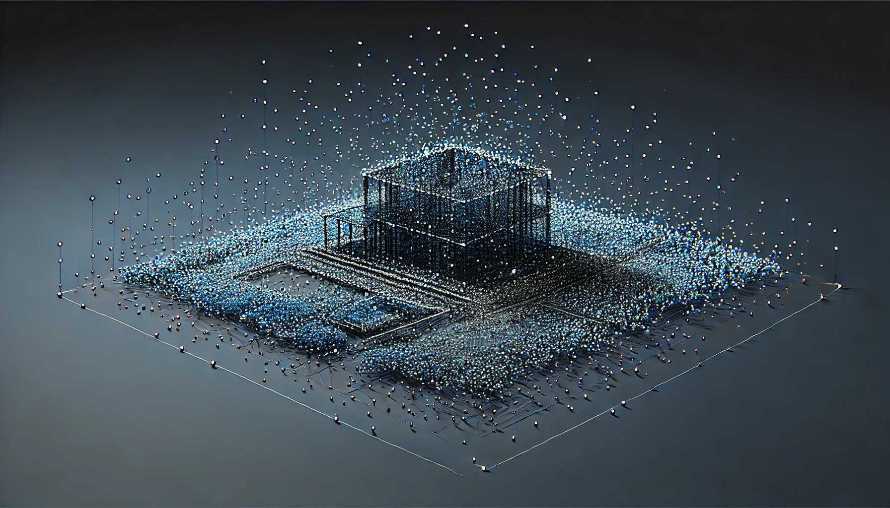
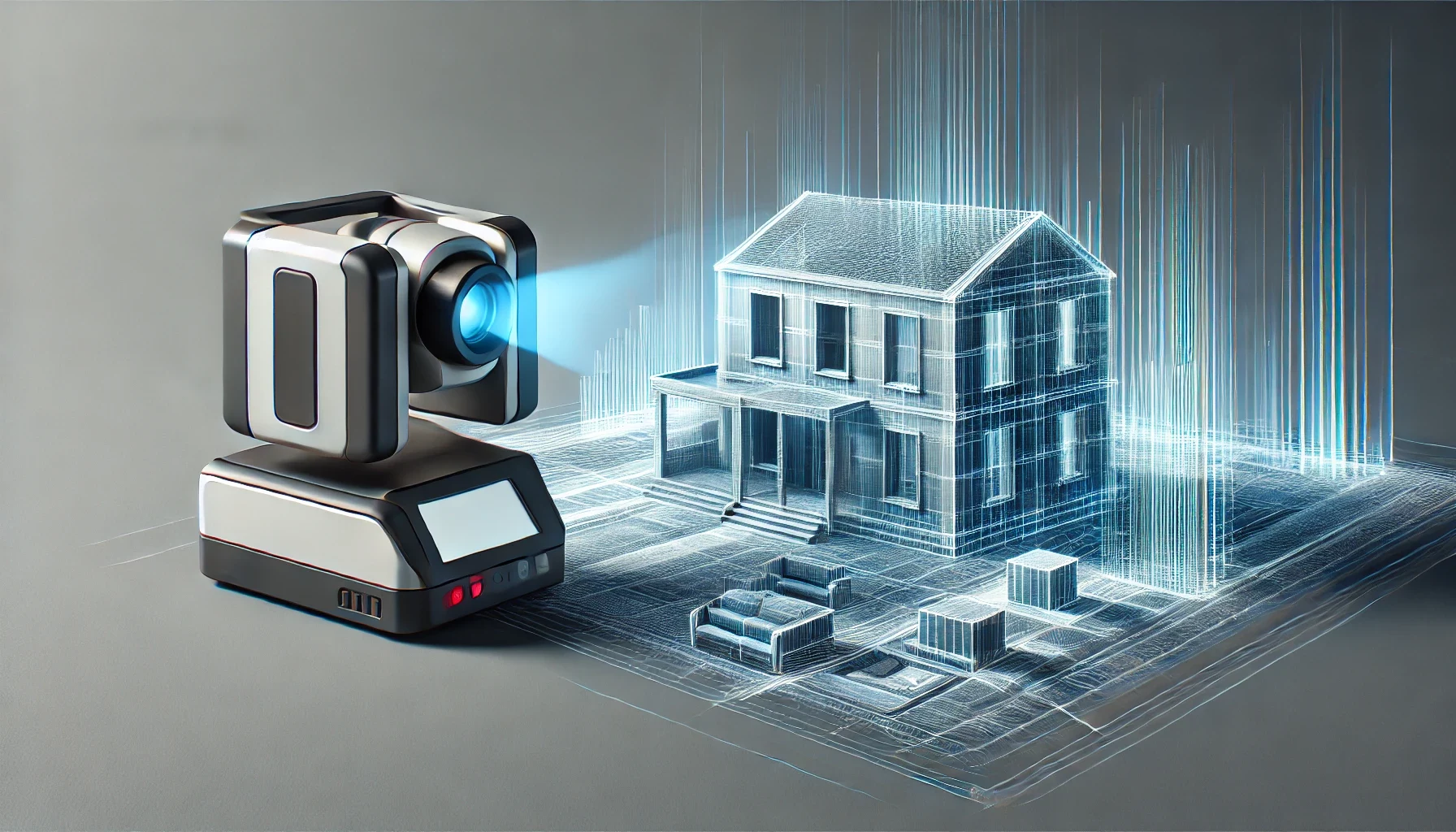
Un nor de puncte este o colecție de puncte de date în spațiu 3D care reprezintă suprafețele exterioare ale unui obiect sau ale unui mediu. Fiecare punct din nor conține coordonate x, y și z, capturând geometria și dimensiunile elementelor reale. Norii de puncte sunt creați, de obicei, prin scanare laser 3D sau fotogrammetrie, tehnologii ce capturează mii sau milioane de puncte într-un timp scurt, formând un „nor” care reprezintă obiectul sau zona scanată.
Cum se generează norii de puncte
- Scanare laser: Un scanner laser emite fascicule de lumină laser care reflectă suprafețele, capturând coordonatele în funcție de timpul necesar pentru revenirea laserului. Această metodă este precisă și frecvent utilizată în proiectele care necesită o acuratețe ridicată.
- Fotogrammetrie: Utilizând mai multe fotografii realizate din diverse unghiuri, software-ul de fotogrammetrie reconstruiește geometria 3D a unui obiect. Deși nu oferă aceeași precizie ca scanarea laser, este ideală pentru generarea norilor de puncte din fotografii aeriene sau de mână.
Aplicațiile norilor de puncte în BIM și CAD
Norii de puncte sunt extrem de valoroși în BIM și CAD datorită preciziei și cantității de informații pe care le oferă. Iată câteva dintre utilizările lor:
- Crearea de modele as-built precise
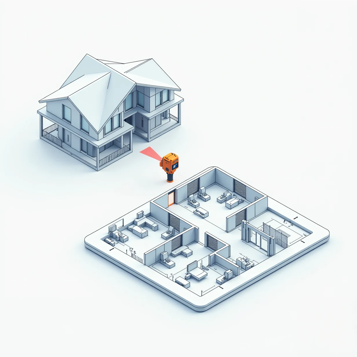
- Norii de puncte capturează măsurători detaliate și precise, fiind inestimabili pentru documentarea condițiilor existente ale clădirilor sau infrastructurii. Prin conversia norilor de puncte în modele BIM 3D, arhitecții și inginerii pot crea modele as-built pentru a planifica renovări sau proiecte de modernizare.
- Detectarea coliziunilor și analiza spațială
- În construcții și inginerie, detectarea coliziunilor identifică conflictele potențiale între elementele structurale, mecanice și electrice. Norii de puncte fac ușoară compararea structurilor existente cu proiectele propuse în BIM, ajutând la rezolvarea conflictelor și la îmbunătățirea preciziei proiectului.
- Planificare și analiză de amplasament
- Atunci când se planifică o nouă construcție, norii de puncte obținuți prin scanări laser sau din fotografii aeriene ale unui amplasament ajută la captarea topografiei, a structurilor înconjurătoare și a elementelor naturale. Acest lucru permite planificatorilor să înțeleagă mai bine contextul fizic al unui proiect și să ia decizii informate.
- Conservarea și restaurarea istorică
- Pentru structurile istorice, norii de puncte permit crearea de replici digitale precise care pot fi conservate sau utilizate în proiecte de restaurare. Datele precise permit restauratorilor să reproducă caracteristicile originale și să mențină integritatea istorică.
Avantajele utilizării norilor de puncte în BIM/CAD
- Precizie și detaliu
- Norii de puncte oferă o acuratețe incomparabilă, capturând milioane de puncte ce formează un model digital detaliat. Această precizie asigură că fiecare suprafață, curbă și unghi al unui obiect sau clădiri este reprezentat în detaliu exact, crucial pentru modelele BIM și CAD.
- Eficiență de timp și costuri
- Comparativ cu metodele tradiționale de topografiere, generarea norilor de puncte prin scanare laser este mult mai rapidă, capturând suprafețe mari în câteva minute. Acest lucru economisește timp și reduce necesitatea măsurătorilor manuale, care pot fi laborioase și predispuse la erori.
- Colaborare îmbunătățită între echipe
- În fluxurile de lucru BIM, norii de puncte permit echipelor să lucreze cu aceleași date de înaltă calitate, asigurând alinierea tuturor. Fie că sunt arhitecți, ingineri sau manageri de construcții, toți părțile implicate pot accesa aceeași reprezentare 3D exactă pentru o colaborare mai eficientă.
- Sprijinirea formelor complexe și neregulate
- Desenele CAD tradiționale întâmpină adesea dificultăți în a reprezenta forme complexe sau neregulate. Norii de puncte depășesc această limitare, deoarece pot reprezenta forme și detalii complexe, făcându-i ideali pentru proiectele care implică elemente arhitecturale sau inginerești complexe.
Conversia norilor de puncte în modele BIM și CAD
Deși norii de puncte sunt extrem de preciși, nu sunt direct editabili în majoritatea programelor CAD. Pentru a face norii de puncte utili în aplicațiile BIM/CAD, aceștia sunt de obicei convertiți în suprafețe 3D sau mesh-uri. Acest proces poate implica software specializat care traduce datele brute în forme geometrice, permițând profesioniștilor să lucreze cu modelele în platformele CAD sau BIM.
Concluzie
Norii de puncte revoluționează modul în care profesioniștii din domeniul BIM și CAD lucrează, oferind reprezentări digitale extrem de detaliate și precise ale structurilor reale. De la îmbunătățirea preciziei proiectelor până la facilitarea colaborării, norii de puncte sunt un atu esențial în arhitectura, ingineria și construcțiile moderne. Pe măsură ce tehnologiile de scanare 3D continuă să avanseze, utilizarea norilor de puncte se va extinde, devenind un element fundamental al modelării digitale în industria AEC.


